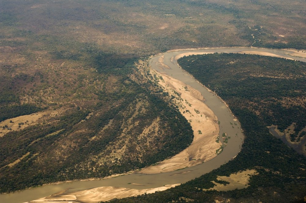
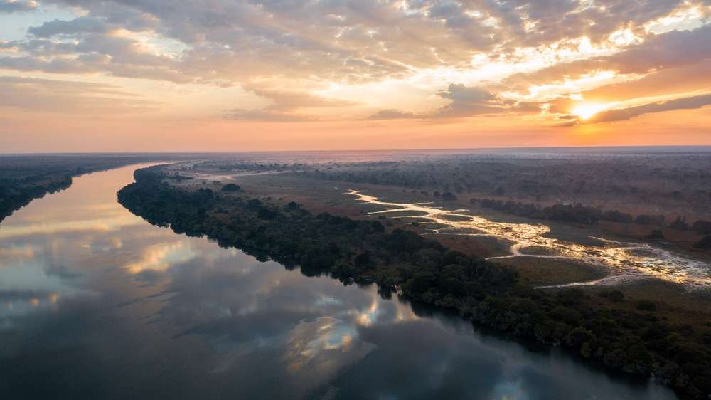
Zambezi River
- Length: 2574km
- Avg. Flow Rate: 7000km/s
- Basin Size: 1390000km2
- Source: Ikelenge District
- Coordinates: 11°22′11″S 24°18′30″E
- Elevation: 1500m
- Mouth: Indian Ocean, Zambezia Province and Sofala Province, Mozambique
- Coordinates: 18°34′14″S 36°28′13″E
- 2nd Source: Moxico Municipality, Moxico Province, Angola
- Coordinates: 12°40′34″S 18°24′47″E
- Elevation: 1440
- Discharge: Marromeu, Mozambique
- Discharge: Cahora Bassa Dam
- Discharge: Kariba Dam
- Discharge: Mosi-Oa-Tunya Falls
- Countries: Zambia, Angola, Namibia, Botswana, Zimbabwe and Mozambique
Share:
General Information
The Zambezi is the longest river in Zambia and the fourth-longest river in Africa. It Flows through Six countries
Fun Facts!
The Zambezi is the fourth-longest river in Africa, the longest east-flowing river in Africa and the largest flowing into the Indian Ocean from Africa.
The Zambezi’s most noted feature is the Mosi-Oa-Tunya Falls. Its other falls include the Chavuma Falls at the border between Zambia and Angola, and Ngonye Falls near Sioma in western Zambia.
Activities
- Mosi Oa Tunya Falls: Witness the majesty of the falls, take a helicopter tour, or even swim in the Devil’s Pool (during the low-water season).
- White-Water Rafting: Navigate the thrilling rapids below Mosi Oa Tunya Falls for an adrenaline rush.
- Fishing: Test your skills against a variety of fish species in the mighty Zambezi.
- Sunset Cruises: Enjoy a romantic or scenic boat trip as the sun dips below the horizon, painting the sky with vibrant colors.
Economy
- The Zambezi River is a vital source of water for irrigation and hydroelectric power generation, contributing significantly to Zambia’s economy.
- Tourism thrives along the river, with lodges and activities catering to visitors worldwide.
Transport
The river is frequently interrupted by rapids, so has never been an important long-distance transport route.
However, many roads, railway lines and other crossings have been built criss-crossing the zambezi.
Energy
The two main sources of hydroelectric power on the river are the Kariba Dam, which provides power to Zambia and Zimbabwe, and the Cahora Bassa Dam in Mozambique, which provides power to Mozambique and South Africa. Additionally, two smaller power stations are along the Zambezi River in Zambia, one at Victoria Falls and the other in Zengamina, near Kalene Hill in the Ikelenge District.
Climate
The north of the Zambezi basin has mean annual rainfall of 1100 to 1400 mm, which declines towards the south, reaching about half that figure in the south-west. The rain falls in a 4-to-6-month summer rainy season when the intertropical convergence zone moves over the basin from the north between October and March. Evaporation rates are high (1600 mm-2300 mm), and much water is lost this way in swamps and floodplains, especially in the south-west of the basin.
Wildlife
The Zambezi supports large populations of many animals. Hippopotamuses are abundant along most of the calm stretches of the river, as well as Nile crocodiles. Monitor lizards are found in many places. Birds are abundant, with species including heron, pelican, egret, lesser flamingo, and African fish eagle present in large numbers. Riverine woodland also supports many large animals, such as buffalo, zebras, giraffes, and elephants.
The Zambezi also supports several hundred species of fish, some of which are endemic to the river. Important species include cichlids, which are fished heavily for food, as well as catfish, tigerfish, yellowfish, and other large species. The bull shark is sometimes known as the Zambezi shark after the river, not to be mistaken with Glyphis freshwater shark genus that inhabit the river, as well.
No donation to this project yet.
| M | T | W | T | F | S | S |
|---|---|---|---|---|---|---|
| 1 | 2 | 3 | 4 | 5 | 6 | |
| 7 | 8 | 9 | 10 | 11 | 12 | 13 |
| 14 | 15 | 16 | 17 | 18 | 19 | 20 |
| 21 | 22 | 23 | 24 | 25 | 26 | 27 |
| 28 | 29 | 30 | ||||


